


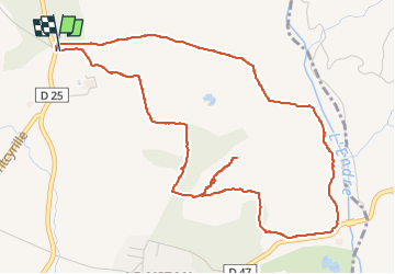

13,3 km | 18,3 km-effort

Benutzer


Kostenlosegpshiking-Anwendung
 SityTrail
IGN / Geografische Institute
SityTrail World
Die Welt öffnet sich für Sie
Tour Wandern von 6,4 km verfügbar auf Provence-Alpes-Côte d'Azur, Var, La Motte. Diese Tour wird von cb8310 vorgeschlagen.
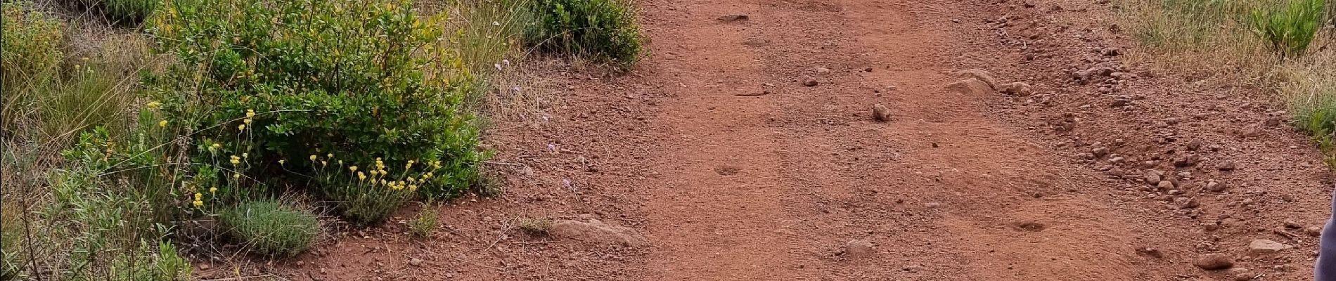
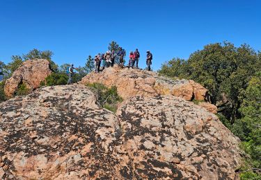
rando avec quelques montées courtes mais un peu difficiles un sentier qui n'existe que sur la carte IGN et non en réalité, ce qui nous a obligé à rebrousser chemin


Wandern

Wandern

Wandern

Wandern

Wandern
Wandern
Zu Fuß
Wandern
Wandern